Upper Detroit Riverfront Park UAV and Land Survey
- Location: Detroit, Michigan
- Service Fee: $12.5K
- Client: EA Engineering, Science, and Technology, Inc., PBC
Project Description:
ROWE provided survey services to assist the U.S. Environmental Protection Agency’s Great Lakes National Program Office with evaluating the habitat and restoring the Upper Detroit Riverfront Park site. As a subconsultant to EA Engineering, Science, and Technology, Inc., PBC. ROWE performed surveying and mapping services to support the habitat restoration design. The restoration area includes three parks: Mariners, Riverfront-Lakewood East, and A.B. Ford Park near the mouth of the Detroit River at Lake St. Clair.
The Project included:
- Mapping approximately 25 acres of upland with 1-foot contours using an unmanned aerial vehicle supplemented with traditional ground surveying.
- Documenting existing in-river and waterfront structures and site features, including utilities, roads, parking lots, drains, outfalls, seawalls, and bulkheads.
- Surveying the park boundaries.
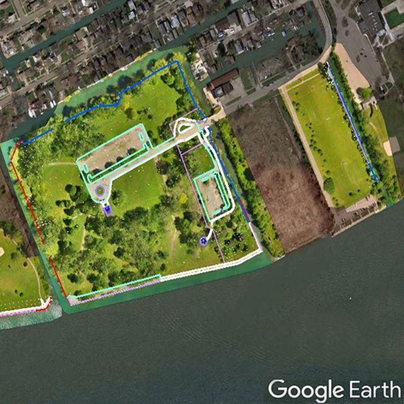
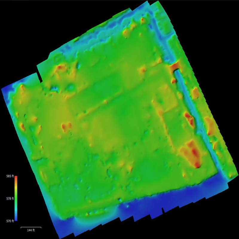
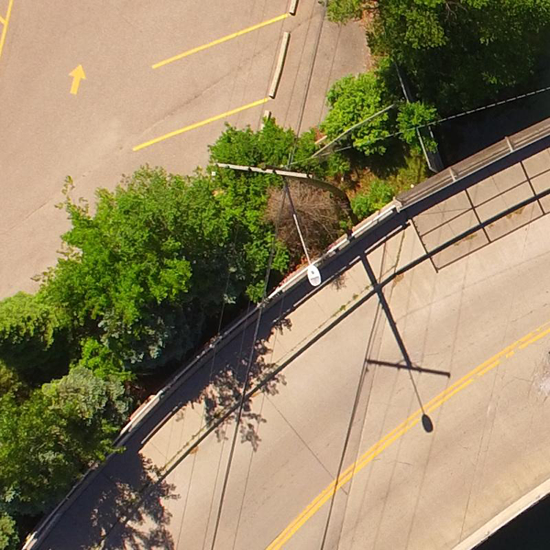
Photo Descriptions:
- Top, this image of the project area shows the orthophoto and survey data superimposed onto Google Earth.
- Middle, this digital elevation model is a rendering of the terrain at Riverfront-Lakewood East Park.
- Bottom, this full-resolution image shows the detail of the raw photos from the unmanned aerial vehicle at 1-inch pixels.