Topographic Mapping
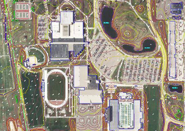
 Topographic mapping from aerial photography is accomplished by the photogrammetric process of scaling, leveling and orienting aerial photographs to ground surveyed control points and digitizing features visible in the photographs into a mapping or CAD software environment.
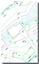
Mapping accuracy is dependent on such things as the camera, digitizing equipment quality, mapping technician experience, site conditions that are being mapped and the altitude at which a project is flown.